
Walk a Jonesboro Street
A reliable Jonesboro street directory search moves from the place to the people, one record at a time. Begin with the exact street string, but keep unit numbers and vacant lots in view. The county assessment roll can name the taxpayer and assign a parcel number. That is an ownership lead, not a list of all residents. Next, use the map to place that parcel among the lots beside and across from it. The legal description then connects the map to recorded deeds even when a postal address has changed.
- Start with the address. Search the Craighead County assessment roll and save the parcel number, situs address, owner mailing address, legal description, map link, and data date.
- Walk the map. Open the Jonesboro/Craighead GIS, turn on parcels, streets, aerial imagery, and the city-limit layer, then inspect each lot in street order.
- Follow title. Take the owner name and deed reference to the Circuit Clerk and Ex-Officio Recorder. Link the current grantee to the prior grantor.
- Check lawful voter sources. VoterView is an individual self-check, not a street browser. Any broader file must come through the Secretary of State request process with protected fields removed.
- Add dated household evidence. Read an address section or criss-cross volume where one exists, then compare the result with directories, census records, or news from the same period.
This sequence prevents a common error. A parcel owner, a tax-mail recipient, a deed party, and a listed occupant may be four different people. The street directory becomes useful when each name keeps its source, role, and date.
Search Jonesboro Parcel Addresses
The Craighead County DataScout profile is the current parcel starting point. Its free county profile reports 57,766 parcels and 96 percent mapping, while detailed access may require acceptance or an account. The result can contain the taxpayer name, parcel number, situs address, mailing address, legal description, acreage, value, property class, sale references, and millage code. The portal expressly says deed images are not available, so the parcel card never replaces a recorded deed.
| Search key | Input | Use on a street | Important limit |
|---|---|---|---|
| Owner Name | Surname or entity text | Find parcels held by the same indexed owner | Spelling and trust wording matter |
| Parcel Number | County identifier | Return to one mapped tract | Keep the exact result format |
| Property/Situs Address | Number and street | Find the physical parcel | Not the tax mailing address |
| Subdivision or legal text | Lot, block, subdivision, or other description | Bridge changed street labels | Compare with the recorded plat |
The Craighead County Assessor page supplies the official office route when the online search is unclear.
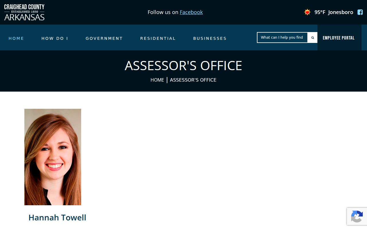
The captured Assessor page anchors the street search to the county office that values and identifies the parcel, rather than to an unofficial address list. Staff can be reached at 870-933-4570 or at the office in 511 Union Street, Room 130, on weekdays from 8 a.m. to 5 p.m.
Map Jonesboro Streets by Parcel
The Jonesboro/Craighead County GIS gives the street directory its geographic order. Available data includes parcels, street centerlines, aerial photography, the city-limit boundary, the Master Street Plan, and one-foot contours from 2011. Search or pan to an address, click its parcel polygon, note the identifier, then inspect the next polygon. If an exact address fails, map browsing can still reveal the lot sequence. The public page does not document a radius or buffer control, so no such tool should be assumed.
GIS staff also provide parcel and street-centerline data in shapefile, KML, and file-geodatabase formats. Large data requests go through the city GIS contact. Those raw lines are valuable for a defined block, but the map labels do not name occupants. A parcel shape must still be joined to the Assessor record, and city limits must be checked apart from the postal city.
Note: A Jonesboro mailing label can extend beyond the municipal line, so keep the GIS city-limit layer visible during each street pass.
Jonesboro Street Record Layers
No single public record is a complete Jonesboro street directory. The Assessor and GIS establish parcels. The Recorder preserves title instruments. City departments hold work and complaint files. Election records cover only eligible registered voters and have access limits. Historical directories identify only people included by their publishers. Reading all layers by street produces a stronger, dated account without overstating any one roll.
| Address layer | Keeper | What it can show | Access path |
|---|---|---|---|
| Assessment roll | Craighead County Assessor | Owner, situs, mailing contact, parcel, values | DataScout or Assessor counter |
| Parcel map | Jonesboro/Craighead GIS | Lot shape, streets, nearby parcels, city line | Public GIS page or staff data request |
| Deeds and plats | Circuit Clerk/Recorder | Owners, transfers, and legal description | Index, bound books, terminal, or copy request |
| Voter geography | Secretary of State and County Clerk | Releasable registration geography | Self-lookup or lawful file request |
| Permits and code cases | Jonesboro city departments | Project, applicant, contractor, notices, and dates | Phone, email, form, or narrow FOIA request |
| Reverse directories | Library and GSCCA | Publisher-listed occupant by address | Digital page, reference desk, or microfilm |
The links work best through stable keys. Carry a parcel number from map to assessment record. Carry the legal description and current deed reference to the Recorder. Keep a permit or code case number for city follow-up. A broad request for every person who lived at an address asks staff to create a new compilation; a request for an existing file by address and date range is much more precise.
Jonesboro Situs Is Not Mailing
A situs address locates the land or building. The owner mailing address tells the county where to send tax material. Equal addresses can support an owner-occupancy lead, but they do not prove it. Different addresses may reflect an owner elsewhere, a post office box, a trust, an entity, or another tax contact. Neither field lists every person in a household.
This distinction is one of Jonesboro's most useful street-directory checks. DataScout millage codes also separate rural and Jonesboro variants for several school districts, including Valley View, Brookland, and Nettleton. Postal city, municipal status, school district, and tax district are different facts. Preserve the millage code and the record date when comparing lots that seem to sit on the same Jonesboro street.
Ownership myth. A name on the parcel card identifies the indexed taxpayer or owner interest, not every resident at the situs address.
Trace Jonesboro Street Deeds
The Craighead County Circuit Clerk and Ex-Officio Recorder records deeds, mortgages, liens, bonds, and other property instruments. Start with the current acquisition deed. The grantee is the party receiving the interest, while the grantor gives or transfers it. Save the document number or book and page, recording date, document type, indexed roles, and full legal description. Then search the current grantor as an earlier grantee to extend the chain backward.
Jonesboro is in the Western District, but Craighead County also has an Eastern District at Lake City. Ask which district index holds the land when the filing path is uncertain. The official site does not publish the online deed cutoff or a current copy-fee schedule. The complete fallback is the Jonesboro office at 511 South Main Street, Room 200, its public terminal or bound index books, phone 870-933-4530, and a request for an uncertified or certified copy. The Lake City clerk location is another documented district route.
Note: A deed proves a transfer and ownership interest at a date; it does not establish that any named party occupied the Jonesboro parcel.
Jonesboro Permits by Address
Building files can date a change along a street. Jonesboro does not expose a public historical permit index, so the fallback comes first: send the exact project address and an approximate date range to Planning or Inspections, then ask for the application, issued permit, inspection history, notices, and final disposition that can be released. Names in the file may belong to an applicant, contractor, owner, or designer. Their role should never be converted into a claim of residence.
The Jonesboro Inspections page describes the permit and review route.
The image documents the city channel behind an address-specific request. Planning can be reached at 870-932-0406 and Inspections at 870-933-4602; scheduling uses the department's published email route.
The companion Planning and Zoning applications can connect an applicant or entity to a proposed site through privilege-license, home-occupation, variance, conditional-use, and rezoning records. Those files show an address-based civic or project link, not necessarily a household.
Jonesboro Code and Tax Files
Jonesboro Code Enforcement began in 2012. Its address-keyed files can document complaint dates, notices, unsafe conditions, cleanup, boarding, or condemnation. Use the Code Enforcement channel to identify the department, then request an existing releasable case by address and date rather than asking for a new resident list.
The captured city page places complaints and records follow-up with the correct office. A complaint address is evidence about a place and case chronology, not proof of who lived there.
The Craighead County Tax Collector maintains payment information and publishes delinquent real and personal property lists. An older delinquency entry can link a taxpayer to a parcel at a stated date, but it may be stale and should not be described as current.
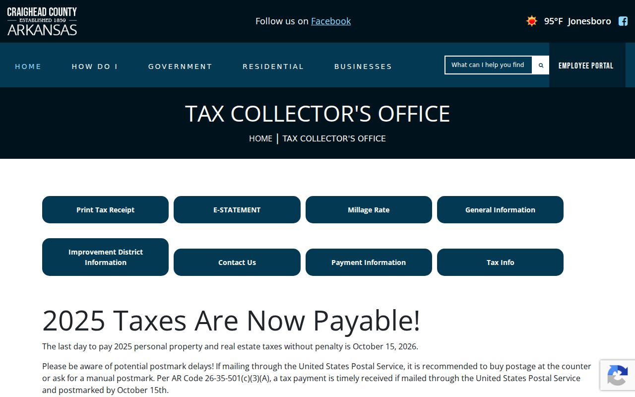
The Collector image distinguishes the tax-payment office from the Assessor, which values property, and the Recorder, which keeps title instruments.
Keep Jonesboro Address Continuity
A legal description is the best bridge when a Jonesboro street was renamed, renumbered, annexed, or converted from a rural route to a numbered address. It may identify a subdivision, lot and block, acreage, or a metes-and-bounds tract described through measurements and landmarks. A plat is the recorded map that places lots and streets within a subdivision. Keep both the legal text and the parcel number, since parcels can split or be reassigned.
- Parcel
- A mapped tract used for assessment and administrative tracking.
- Situs address
- The physical location assigned to land or a structure, apart from the owner's mailing address.
- Plat
- A recorded plan that identifies subdivision lots, blocks, streets, and other mapped features.
- Criss-cross directory
- A directory arranged by street and house number so a listed occupant can be found from an address.
USPS confirms current mailing form, not ownership or city jurisdiction. Use the USPS address lookup before comparing a current postal string with county and city records.
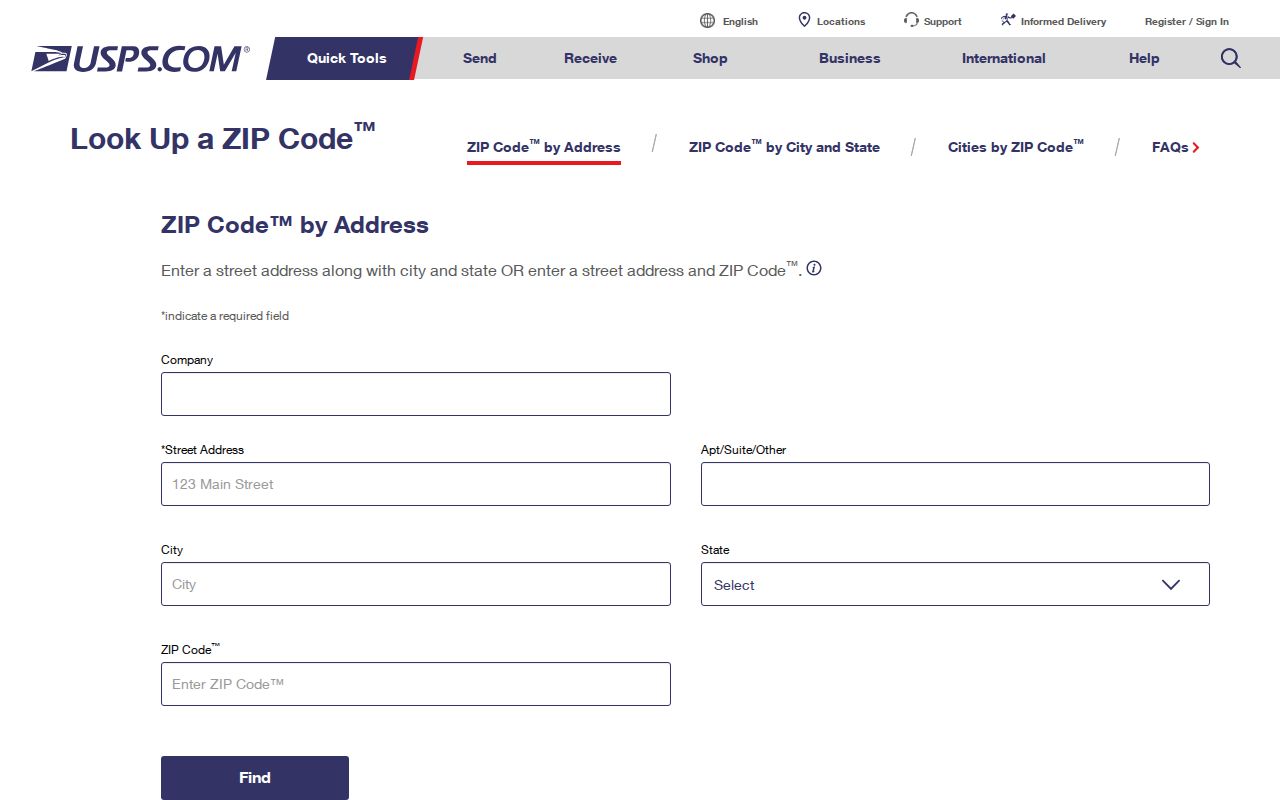
The USPS screen is a formatting checkpoint. The parcel, city-limit layer, millage code, plat, and deed remain the sources for land and jurisdiction.
Read Older Jonesboro Streets
The Genealogy Society of Craighead County hosts a digitized 1906 Jonesboro directory. Confirmed later directory years include 1936, 1939, 1947, 1951, 1953, 1956, and 1959 on institutional microfilm listings, with Jonesboro and Nettleton telephone runs also documented from 1937 through 1959 with a break. An alphabetical section leads from a person to an address. A street or reverse section, when present, runs from number to a listed householder. Verify the volume's own abbreviation key before expanding short forms.
The July 1919 Library of Congress Sanborn set adds 30 sheets of building footprints, uses, street names, and numbers, but it does not name occupants. Pair a sheet with a directory entry and then with deeds or census evidence. Search an older Jonesboro or Nettleton address under both place names because Nettleton persists in directory, cemetery, and school-district contexts. The full shelf and reading method belong to the Jonesboro city directory collections.
Jonesboro Voters Are Not Browseable
Arkansas VoterView asks for first name, last name, date of birth, and county. It is meant for a registrant to confirm status, districts, polling place, and a sample ballot when available. It is not an open street directory and should not be scraped. A no-match does not prove that a person left Jonesboro; spelling, processing, eligibility, an inactive status, or a protected record can explain it.
A broader voter-data product requires a written Secretary of State request and compliance with its use terms. Restricted identity fields and protected addresses are excluded. The County Clerk at 511 South Main Street, Room 202, is the local registration fallback for an existing precinct or register record. Voter data covers registered eligible voters only, never every adult or each person at an address.
Note: Vote history records participation in an election, not a ballot choice or a permanent party affiliation.
Jonesboro Street Directory Limits
Ordinary parcel and deed records do not identify renters, children, guests, or all household members. Utility-customer data is not presumed public. Motor-vehicle addresses have separate federal protection, and Arkansas's Address Confidentiality Program shields qualifying participants. A street directory result is therefore a set of dated leads, not a live census. Even two matching records must be read for the fact each one actually states.
Use the strongest evidence available. A current official record with a stable identifier supports its own stated fact. Two independent official records that match name, parcel or address, role, and time are stronger than name alone. A mailing address or application address is only an affiliation clue. When a record may be offline, split between county districts, or protected, a blank search is weak negative evidence.
Lawful use. Jonesboro address records are for lawful personal research and civic transparency. Never use them to threaten, stalk, harass, trespass, or defeat a protected address.